Poledelstvo Erdzelija
Project Overview
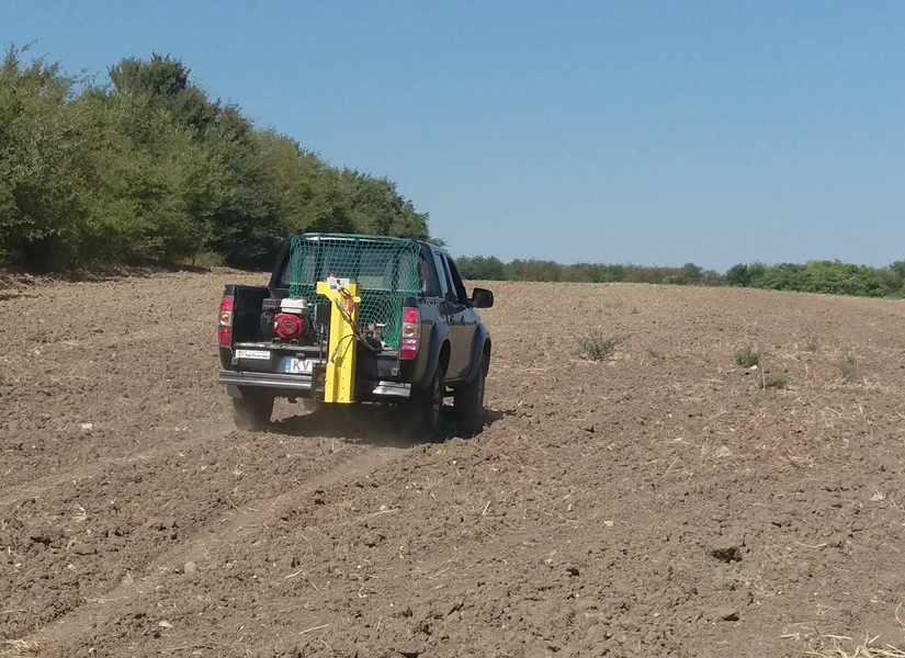
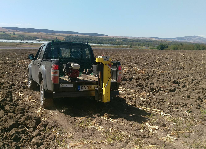
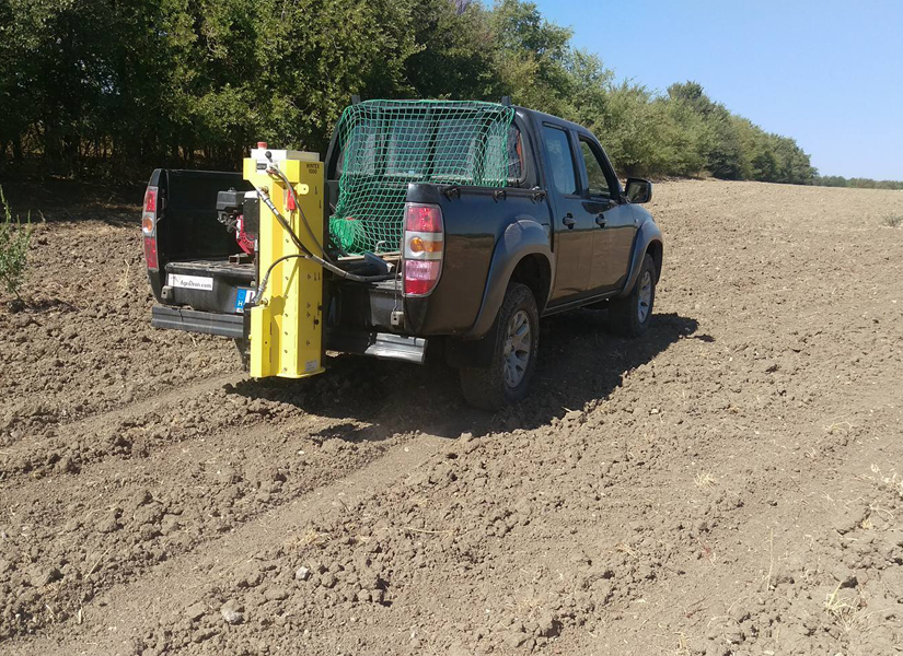
In 2017 AgFutura started with a new line of services in the area of precision agriculture. This group of services includes sophisticated soil sampling based on satellite data and extraction of soil samples supported with the latest hardware technologies. Performing these operations we are supported by the US Geological Survey. Results are analyzed through most advanced algorithms that deliver economic maps with highest precision. The approach that we use enables our clients to reach the highest possible profits from the available resources on their farms.
In September 2017, we started with our first project in the area of soil sampling and economic mapping covering more than 1000 ha of land dedicated mainly for cereal production and industrial crops. The max daily capacity that we can cover is approximately 400 ha.
This group of services is supported with annual monitoring and consultation for the performed operations at our clients’ capacities. This approach guarantees results that are consistent with the provided economic maps.
For more information regarding our services in the area of precision agriculture – soil analysis and economic mapping please follow this LINK
Project Gallery